Thursday, September 30, 2010

Sept 30, St Mary's, GA

We moved from Brunswick, Georgia, past Jekyll Island and then Cumberland Island, then past the Kings Bay Submarine Base and up the St Mary's River to St Mary's, Georgia.

The sky is clearing - we hope.


Approaching the docks at Jekyll Island Resort, a crab boat cuts in front of us.


Jekyll Island Resort.


Cumberland Island once belonged to the Carnegie Family and heirs Thomas and Lucy Carnegie build a mansion called 'Dungeness' in 1885 (designed by Peabody and Stearns of Boston) and then several more mansions for family members. The property was acquired by the US National Park service and is now a Cumberland Island National Seashore, (a National Park) and available for tours and camping. There are a herd of wild horses here.

Linda spots a wild horse at Cumberland Island.
We have been looking for them for several years. A rare sight.


Tug pushing a barge in the Intercoastal.


Porpoise play in our wake again.
Great to have them with us.


Kings Bay Submarine Base.


Submarine at the dock as we pass by.


St Mary's is a small town first settled by the Spanish soon after St Augustine, Florida, and then re-settled in the mid 1700's by the British. Now it is a staging center for trips to Cumberland Island National Seashore.

Lang's Marina.


Downtown St Mary's, Georgia.


St Mary's has a beautiful park an the waterfront.


Lang's Marina as we leave St Mary's in the morning.


Here Georgia is on the north side of the river and Florida is on the south side of the river. We are docked in St Mary's at Lang's Marina right at the downtown landing. Lang's Marina is the only marina in town.

Wednesday, September 29, 2010

Sept 29, Brunswick, GA

We have been watching 'tropical depression 16' which is just below Cuba. It is looking like it will make tropical storm status soon and become the 'named' storm Nicole. Tropical storm status means winds of 40 mph or greater. The storm track is forecast to be 50-100 miles offshore as it passes north Florida and the Georgia coast. We are cautious however, and we know the weather is sometimes unpredictable. So, we are interested in being in a harbor sheltered on all four sides, just in case. We move down the Georgia coast from Isle of Hope, Georgia, just south of Savannah, to Brunswick, Georgia, a distance of 90 miles.

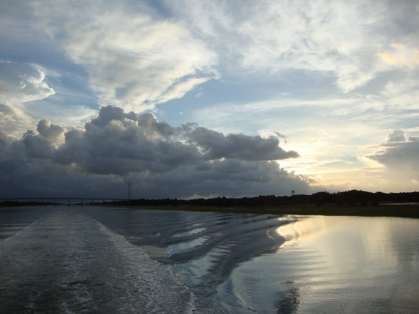
We start out from Isle of Hope about 7 am with a threatening sky.


Very rural with almost no development along the shore.


Our day did have one interesting event. One of the commercial shrimp boats, a 65 footer named SEA FOX was trawling just outside the Doboy Inlet between Savannah and Brunswick in Georgia and gave the Coast Guard a 'MAYDAY' while we were only a few miles away. The captain said they were taking on water and in danger of sinking and needed some pumps - ASAP. Coast Guard from Charleston and the Sea FOX captain went back and forth for a half hour before the Coast Guard finally responded with a helicopter and sent a small rescue boat from the south to the scene.

Coast Guard coming to the rescue.
We hope.


Shrimper like the one sinking.


Final report we had was the captain telling the Coast Guard that the water was above the engines in the hold and that they were still trying to get their trawl gear back in the boat. He was also talking to another commercial shrimper nearby that was trying to help. We lost contact after two hours and are still wondering what happened to the boat and the three man crew.

We arrived in Brunswick about 4 pm after a long day on the water. We had almost no wind or rain. Just overcast and threatening to rain all day.

I-95 highway bridge crosses the Brunswick River, leading to Brunswick, Georgia.


Shrimper sunk in the Brunswick harbor.


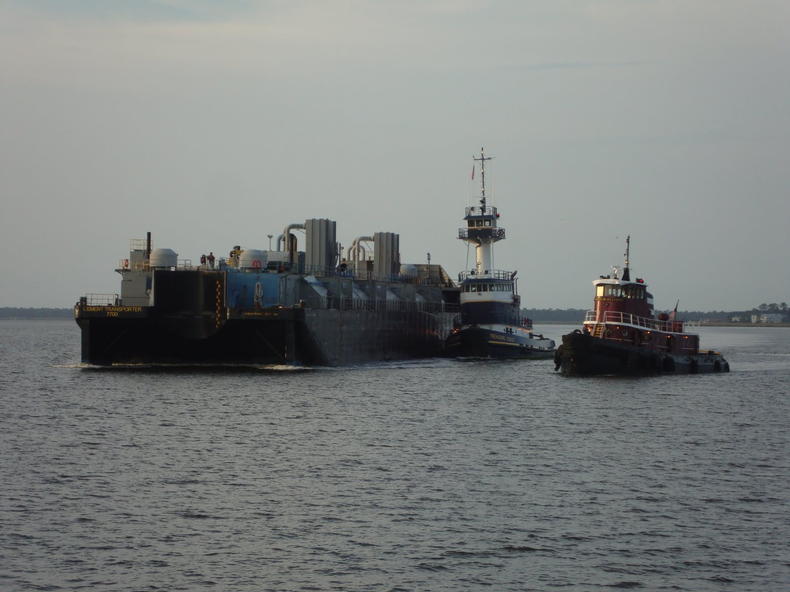
Freighter SIDER PINK unloads in Brunswick harbor.


Fleet of shrimpers in Brunswick.


Approaching Brunswick Harbor Marina.
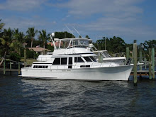
Large yacht on left is SASSY, a 100 foot Hargrave, from Mt Pleasant, Michigan.


We are staying at the Brunswick Harbor Marina which is well protected from the wind on all sides. We are making good progress and are now at the Intercoastal Waterway mile marker 690, only 27 miles from the Georgia/Florida border.

Tuesday, September 28, 2010

Sept 28, Isle of Hope, GA

We moved from Beaufort, SC to a small town called Isle of Hope, which is just south of Savannah, Georgia. Beautiful day on the water with clear skies and no wind. Nice change from Yesterday's storms.

Parris Island Marine training center.


Shrimper WILD HOGG trawls and attracts the birds.


Beautiful homes on Hilton Head Island as we motor along.


Haig Point Light.


We are staying at the Isle of Hope Marina where we are using their 'loaner car' for a trip to town for dinner and re-provisioning.

Approaching Isle of Hope Marina.


Large power catamaran AMITY.
Beautiful.


We like staying here at Isle of Hope Marina. Convenient, friendly, new floating docks, good power and a loaner car. Internet did not work for us in the slip. Must have been too far from the router.

Monday, September 27, 2010

Sept 27, Beaufort, SC

Rained all night overnight. Today we left Isle of Palms early (7:15) with overcast skies and moved about 80 miles in the rain (sometimes very heavy rain) to Beaufort, SC.

As we leave Isle of Palms. Rain is forecast.


New Charleston Lighthouse is square. Looks modern.


We pass by Fort Sumnter in the Charleston Harbor.
Where the first shots were fired starting the 'Civil War'.
And about which the 'Star Spangle Banner' was written.


Charleston City Dock, nicknamed 'Megadock'.
Lots of big yachts here today.


Unusual paint job on this sportfish.
'Click' on any picture to expand.


Tug pulling a dredge and some pipe. Rig fills the channel.


Another tug pulling more dredging pipe.


Dark clouds fill the sky as a front moves through.
We have stormy weather for about two hours.


Not many boats on the waterway today (probably because of the weather) and we just motored along. Used the radar a few times when we could not see very far and had one 15 minute period of high winds. Probably 30-35 mph. Howling winds and driving rain for a while. Ended the day about 3 pm at the Beaufort Downtown Marina and are happy to be off the water for the night.

Sunday, September 26, 2010

Sept 26, Isle of Palms, SC

Today we moved from Georgetown, SC to Isle of Palms, SC which is just a few miles north of Charleston. We only moved a distance of 50 miles. We had a short day today and arrived at the marina about 1:30.

As we leave Georgetown, we encounter two tugs with a barge.


Heavy rainstorm today. We used our radar.


Very uneventful day today on the water except for a few porpoise that came to visit and played in our bow wake. Does not take much to make us enjoy the day.

Approaching Isle of Palms Marina.


We are staying at the Isle of Palms Marina on a barrier island named Isle of Palms. We are at mile marker 454 (Norfolk is -0-; Stuart is 985) About 500 miles from home.

Saturday, September 25, 2010

Sept 25, Georgetown, SC

Today we moved from Myrtle Beach, SC to Georgetown, SC a distance of about 50 miles.

Beautiful homes line the waterway around Myrtle Beach.
Here is an attractive trellis.


We get ready to pass the SARA KAITLIN.
We wait for a wide spot in the waterway and talk to her Captain on our VHF radio to coordinate our pass.


This is the Waccamaw River.
We go through a very pretty cypress forest as we approach Georgetown.


Miles and miles of cypress swamp.


Approaching Georgetown, SC.


Harborwalk Marina office in Georgetown.


We walked into Georgetown and visited several shops that we remembered from the spring. Georgetown has several high quality furniture stores on the main street and must be the regional center for furniture. Then back to the boat for the University of Florida - Kentucky football game shown of ESPN. Florida is looking good.

Friday, September 24, 2010

Sept 24, Myrtle Beach, SC

Today we moved from Wrightsville Beach, NC south along the Intercoastal Waterway to Myrtle Beach, South Carolina, a distance of about 70 miles.

Here the Atlantic Ocean is very close to the Intercoastal Waterway.
Glad it is a calm day.


We pass a popular boating center at Carolina Beach.


A car ferry crossses in front of us at Southport.


The first of many 'shrimp boats' along the waterway.


We see several boats that are beached or otherwise in trouble.

Sailboat aground in the weeds.


Larger sailboat still has its sails.


This cruiser has been here a while.


This cruiser has a crushed top.
Maybe it rolled over.


We ended the day at Dock Holiday Marina in Myrtle Beach. As we went to the restaurant here for dinner we found they were having a 'Shag' party featuring the 'beach' music with several hundred adults (our age) participating. This was something Chuck and Charlotte tried to explain to us years ago and we finally got to see what they have been talking about. It seems the 'shag' is unique to North and South Carolina. They have a group 'SOS' (Shag on the Strand) which holds several 'shag' reunion type events during the summer and fall. If you are a member, then it is free food and music. Quite popular with the locals. We loved the music and everyone seemed to be having a great time dancing the night away.